Translate this page:
हिंदी अनुवाद| Pincode | 505469 |
| Name | Porandla B.O |
| District | Karim Nagar |
| State | Andhra Pradesh |
| Status | Branch Office(Delivery) |
| Head Office | Karimnagar H.O |
| Sub Office | Manakondur S.O |
| Location | Thimmapur Taluk of Karim Nagar District |
| Telephone No | Not Available |
| SPCC | KARIMNAGAR-505001 |
| Department Info | Karimnagar Division Hyderabad Region Andhra Pradesh Circle |
| Address | Purandala, Andhra Pradesh, India |
| Services | |
| Indian Postal Code System Consists of Six digits. The first to digits represent the state, the second two digits represent the district and the Third two digits represents the Post Office.In this case the first two digits 50 represents the state Andhra Pradesh, the second two digits 54 represent the district Karim Nagar, and finally 69 represents the Post Office Porandla B.O. Thus the Zip Code of Porandla B.O, Karim Nagar, andhra pradesh is 505469 | |
| Pincode | 505529 |
| Name | Porandla B.O |
| District | Karim Nagar |
| State | Andhra Pradesh |
| Status | Branch Office(Delivery) |
| Head Office | Jagtial H.O |
| Sub Office | Polas S.O |
| Location | Jagtial Taluk of Karim Nagar District |
| Telephone No | Not Available |
| SPCC | JAGTIAL-505327 |
| Department Info | Karimnagar Division Hyderabad Region Andhra Pradesh Circle |
| Address | Porandla, Andhra Pradesh, India |
| Services | |
| Indian Postal Code System Consists of Six digits. The first to digits represent the state, the second two digits represent the district and the Third two digits represents the Post Office.In this case the first two digits 50 represents the state Andhra Pradesh, the second two digits 55 represent the district Karim Nagar, and finally 29 represents the Post Office Porandla B.O. Thus the Zip Code of Porandla B.O, Karim Nagar, andhra pradesh is 505529 | |


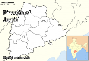
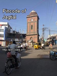
Jagtial is municipal town in Karimnagar district of Telangana, India. It is one of the proposed district in Telangana.
Jagtial is located at 18.8°N 78.93°E / 18.8; 78.93. It has an average elevation of 264 meters (866 feet). As of 2011 Census of India, the town had a population of 96,470. The average literacy rate stands at 78.61% with 67,931 literates, significantly higher than the national average of 73.00%.
Talkies In Jagtial
...More Info